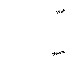
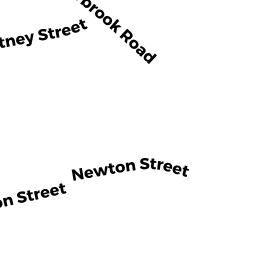
25 WHITNEY ST
Owner Information
AMES BROOKS A & MARIELA G
25 WHITNEY ST
CHESTNUT HILL, MA 02467


Property Details
25 WHITNEY ST is classified as a Single Family Residential (Cape).
The primary structure on this property was built in 1898. There is 2,175ft2 of residential/living space within this property. This property is listed as having 10 rooms.
25 WHITNEY ST is valued at $1,150,200. The land is valued at $400,700 and the structures are valued at $749,500.
This property is in Zone T-5. Confirm with local Zoning Board authorities to ensure there are no overlays or other easements on this property.
The most recent deed for 25 WHITNEY ST is recorded at the local registrar in Book 20379, Page 112. 25 WHITNEY ST was last sold on Tuesday, December 30, 2003 for $656,500.
Assessment data from fiscal year 2021.
Flood Data
According to the FEMA National Flood Hazard Layer, this property does not appear to be in a flood zone. It may also be in an area not yet reviewed. Nonetheless, confirm this information prior to taking any action.
To view the flood hazards around this property, create a FEMA "Firmette" Map of the area around 25 WHITNEY ST.
Broadband Internet Providers
| Provider | Type | Bandwidth (mbps) | |
|---|---|---|---|
| Viasat Inc | Satellite | 100 | 3 |
| VSAT Systems, LLC. | Satellite | 2 | 1 |
| Crown Castle Fiber | Fiber | 0 | 0 |
| HughesNet | Satellite | 25 | 3 |
| GCI Communication Corp. | Satellite | 0 | 0 |
| RCN | Cable | 500 | 20 |
| Comcast | Cable | 1000 | 35 |
| Verizon New England Inc. | DSL | 5 | 0 |
Broadband service provider data from December 2020.
Adjacent Properties
- 71 MEADOWBROOK RD 1
Residential Condominium owned by CHANG STEVEN - 73 MEADOWBROOK RD 2
Residential Condominium owned by HOUSMAN DONNA - 69 MEADOWBROOK RD 3
Residential Condominium owned by LEHTINEN MARIA - 67 MEADOWBROOK RD 4
Residential Condominium owned by DRIBEN BRUCE & AUDREY WINTER - 29 WHITNEY ST 5
Residential Condominium owned by PHILLIPS III, TRS ASA E - 27 WHITNEY ST 6
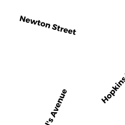
Residential Condominium owned by BHATTACHARYYA NEIL - 155 NEWTON ST 7
Residential Condominium owned by GELLER LEONARD - 165 NEWTON ST 8
Residential Condominium owned by LAM GIANG - 21 WHITNEY ST
Single Family Residential owned by FREESE JOHN B